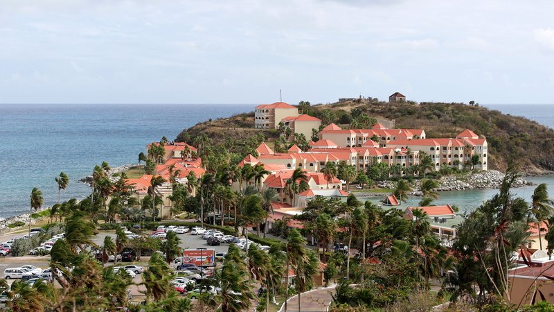
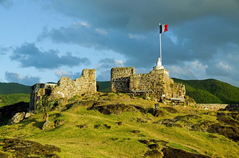
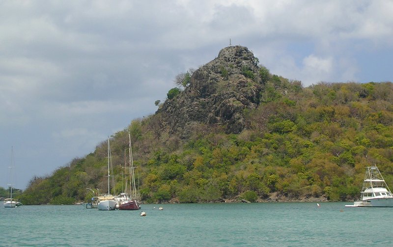
The first Dutch fort in the Caribbean, Fort Amsterdam's crumbling coral-stone walls sit above Little Bay and Great Bay, commanding wide views of the harbour and cruise-ship anchorage. The island changed hands between the Dutch, French and English no fewer than sixteen times before its current arrangement.
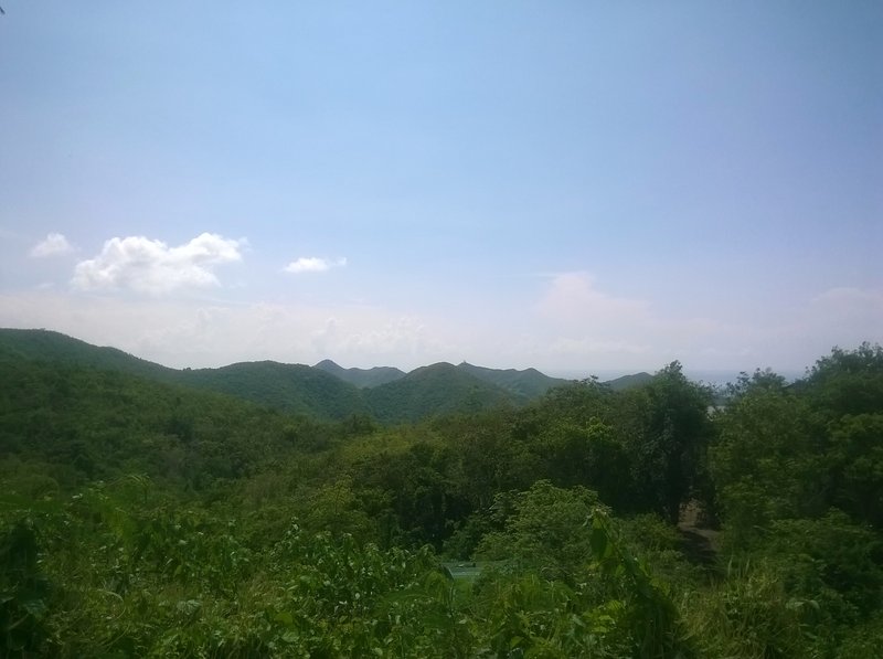
At 424 metres, Pic du Paradis is the highest point on the island, rising above the French interior. The summit sweeps across both coastlines — Anguilla, St. Barthélemy and a scatter of uninhabited islets visible on clear days.
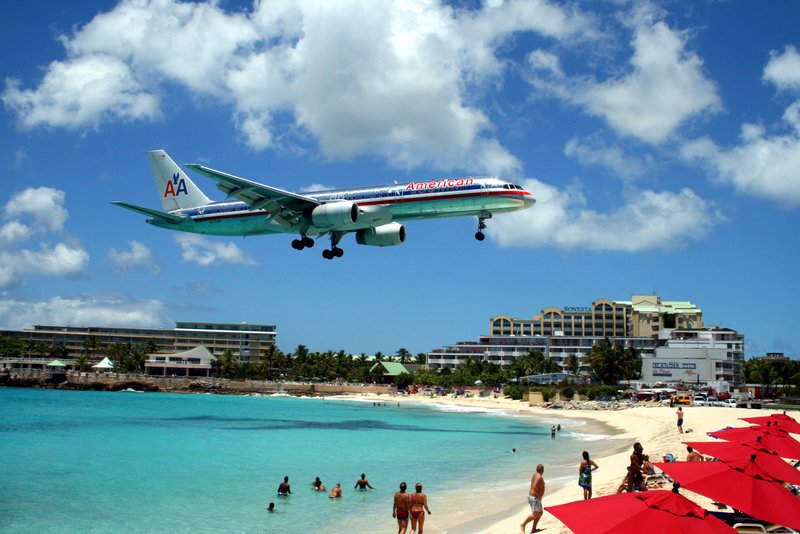
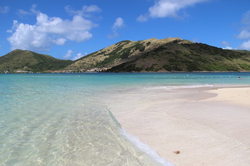
Maho Beach sits directly below Princess Juliana Airport's approach path, with the runway threshold metres from shore. Arriving jets pass low enough to read the livery; departing aircraft blast the perimeter fence with jet wash. A real-time flight board outside Sunset Beach Bar shows arrivals.
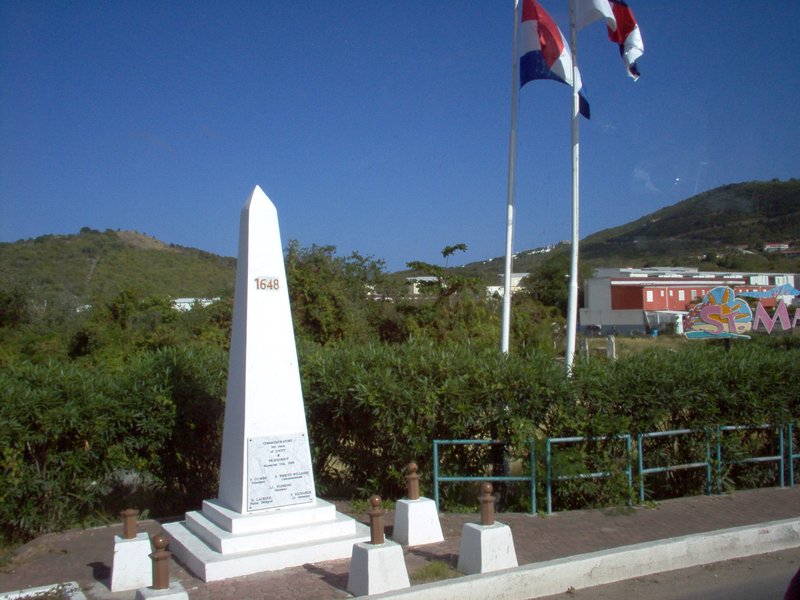
This white obelisk marks the Dutch-French border — one of the world's most open international boundaries, with no checkpoint, customs booth or passport control. A Dutch and French flagpole flank the monument on either side of an invisible line, and the obelisk appears on the Sint Maarten coat of arms.
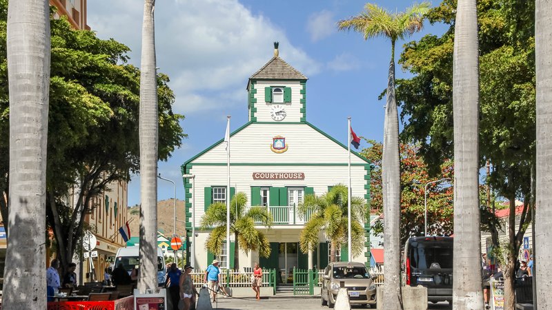
The Dutch capital of Sint Maarten, stretched along a narrow sandbar between Great Bay and the Simpson Bay Lagoon. Front Street's Dutch colonial facades house duty-free shops and cafés; the boardwalk behind them runs the length of Great Bay beach — the island's main cruise-ship anchorage.
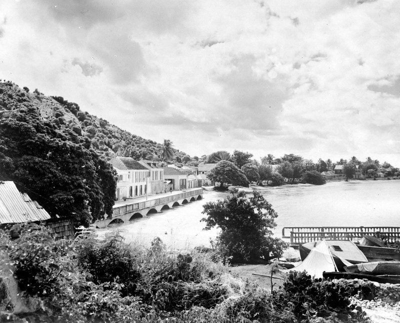
The French capital of Saint Martin — a relaxed port town built around a waterfront market selling produce, spices, and crafts. Fort Louis stands on a hill above the bay, and the marina fills with sailboats from the Caribbean circuit; bistros and French patisseries line the quayside.
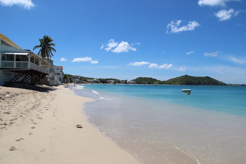
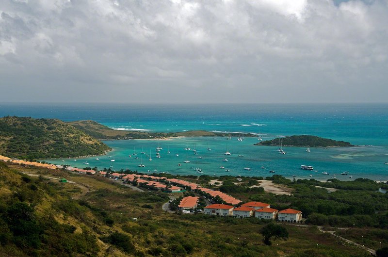
A 2-km crescent beach on the northeast coast of French Saint Martin, regarded as the Caribbean's premier beach for turquoise water and consistent trade winds. The bay faces the small island of Caye Verte; beach clubs and watersports — kite-surfing, paddleboarding, sailing — line the shore.
A single beachfront strip on the north coast of French Saint Martin holding more restaurants per metre than almost anywhere in the Caribbean. The lolos — local charcoal barbecue stalls — open for lunch alongside French Creole kitchens in converted West Indian houses facing the beach.
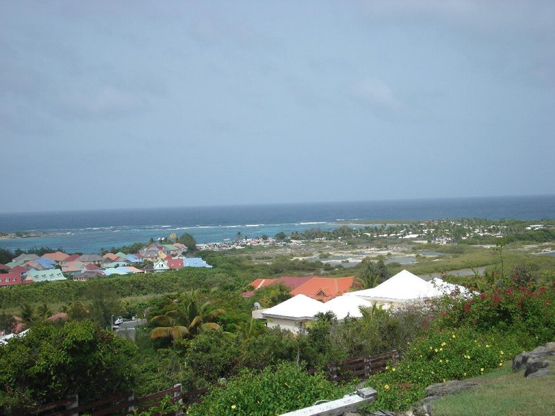
A small French-side town on the northeast coast, facing Îlet Pinel and Île Tintamarre across a narrow channel. Cul-de-Sac is the departure point for the public ferry to Pinel Island and sits close to Orient Bay and the quieter beaches of Petites Cayes and Grandes Cayes.
A small uninhabited island a short ferry ride off Cul-de-Sac, with two calm beaches, shallow reefs for snorkeling, and a couple of beach-shack restaurants running concessions on the sand. There are no roads and no cars — the whole island is walkable in under 20 minutes.
An 18th-century French fort on the hill above Marigot, built during the reign of Louis XVI to defend the harbor and its warehouses from raids. Little remains beyond the perimeter walls and a scatter of cannon, but the climb rewards with the widest overlook of Marigot Bay and the Simpson Bay Lagoon beyond.
A narrow village built along the sandbar separating the Simpson Bay Lagoon from the open sea, just west of Marigot. Fishing boats and sailboats crowd the lagoon side while a plain public beach runs the length of the ocean side, with the lagoon's yachts anchored a stone's throw behind it.
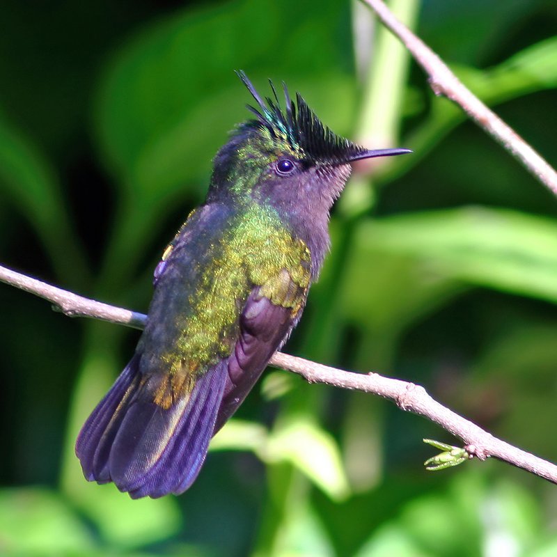
An 8-hectare coastal pond just outside Philipsburg, designated an Important Bird Area by BirdLife International for the threatened and restricted-range species it shelters — green-throated caribs, Antillean crested hummingbirds, Caribbean elaenias and pearly-eyed thrashers among them. Pied-billed grebes and white-cheeked pintails have been recorded nesting on its banks.
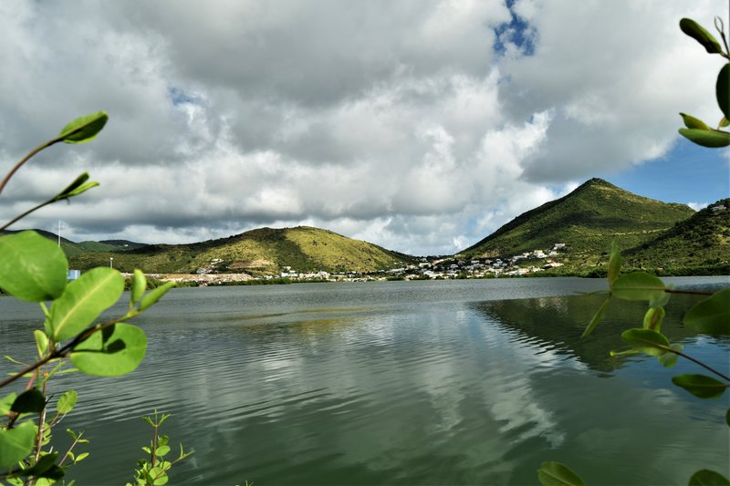
An 188-hectare saltwater pond bordering Philipsburg, the largest on the island and once its commercial salt works. BirdLife International lists it as an Important Bird Area for the large seasonal aggregation of laughing gulls that gathers on its banks, visible from the road that rings the water.
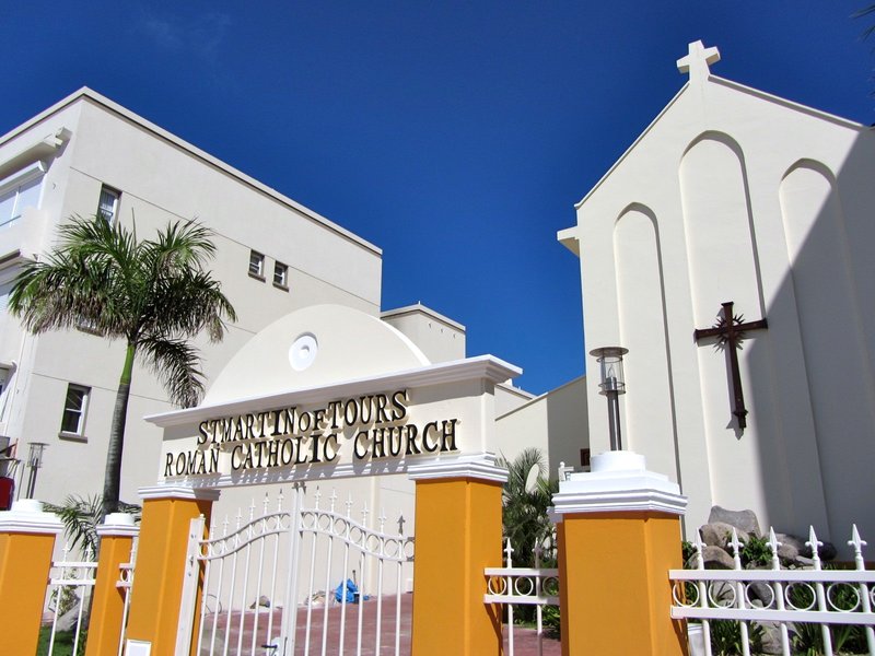
The Roman Catholic parish church of Philipsburg, standing on Voorstraat in the heart of the historic center. Its plain white facade and green shutters are typical of the island's Dutch colonial architecture, a short walk from Front Street's shops and the Great Bay boardwalk.
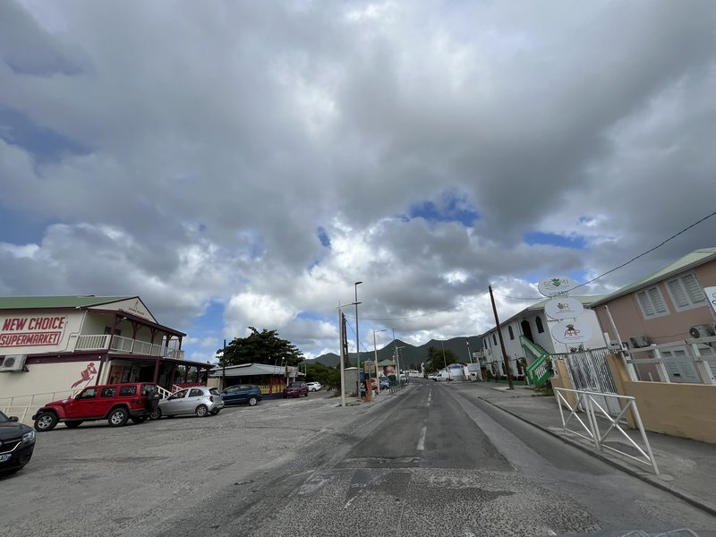
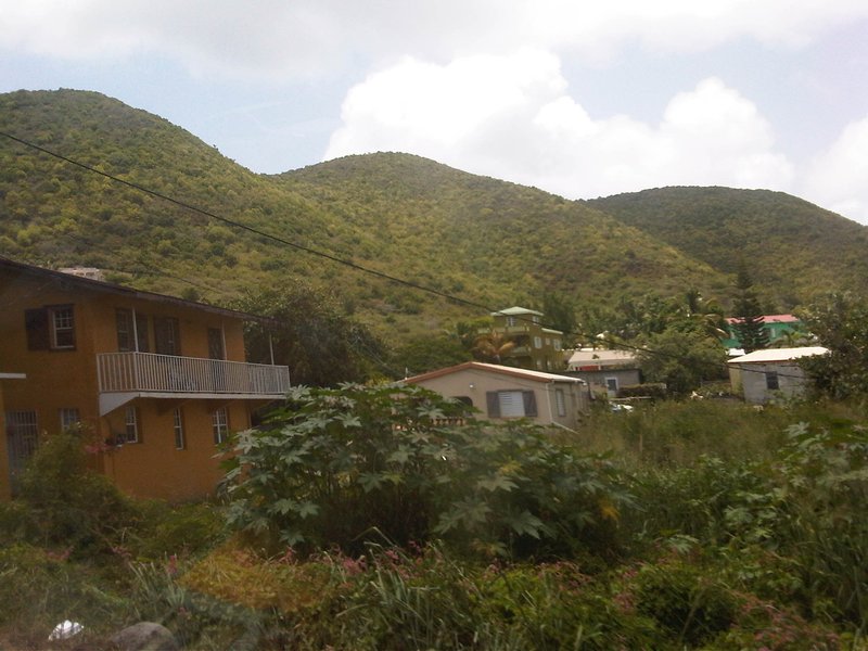
The largest settlement on Sint Maarten, home to more than 8,000 residents strung along the lagoon's eastern shore between Philipsburg and the airport. It carries no single sight of its own, but a slow drive through gives a clearer look at everyday island life than any of the tourist strips.
One of the largest inland lagoons in the West Indies, with the Dutch-French border running straight across its center. It was a landlocked lake until an 1819 hurricane breached the natural isthmus at Pelican; the current canal at the Simpson Bay Lagoon Bridge dates to the mid-20th century. Two small islands, Grand Îlet and Little Key, sit inside it.
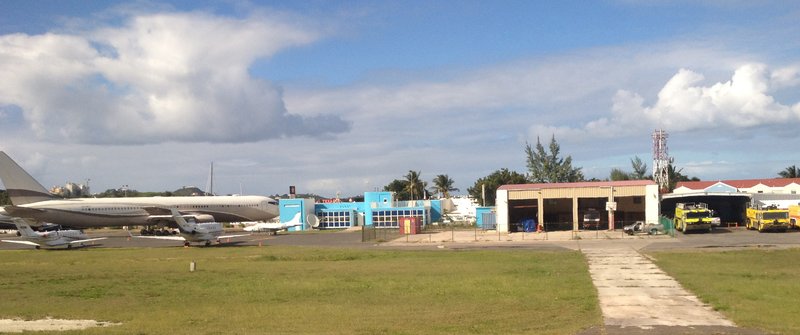
The main airport on Saint Martin, sitting on the shore of Simpson Bay Lagoon and handling close to two million passengers a year — one of the busiest airports in the Caribbean and one of the few with direct flights to Europe and North America. It is named for the Dutch princess who inaugurated the island's first airfield in 1943.
A guided circuit covering highlights on both the Dutch and French sides — Maho Beach · Orient Beach · Marigot · Philipsburg · panoramic overlooks; narrated by a local guide.
A 5-hour catamaran sail on a 62-foot vessel; snorkelling · paddleboarding · floating mat stop at secluded bays · fresh lunch and unlimited drinks on deck · Maho Beach pass-by included.
A 1.5-hour immersive tour of St. Maarten's award-winning distillery — fermentation, distillation and the blending room, then unlimited tastings of 15+ specialty rums, rum cake and infused gelato.
A 6-hour speed boat tour of Sint Maarten and neighboring islands — snorkeling at Pinel Island reef, a beach stop at Tintamarre and a pass by Maho Beach with full lunch included.
The island's official rum distillery in a 6,000 sq ft facility — guided tour of the full process, volunteer bartender and chef slots, unlimited tastings of 21 rums plus rum cake and gelato.
A 6-hour guided island circuit covering both the Dutch and French sides — Orient Beach, Marigot market, Grand Case, Maho Beach and a rum tasting stop at Topper's Distillery mid-tour.
The island's beloved fried bread — dense golden rounds made from flour · butter · coconut milk · eaten for breakfast or as a side with saltfish. Found at every local bakery and morning roadside stall across both sides of the island.
The national dish — fresh conch slow-cooked with dumplings · herbs · Caribbean spices into a hearty stew. No visitor should leave without trying it at a local rum shop or roadside cookout.
Crispy battered conch pieces deep-fried and served with a spicy dipping sauce — one of the Caribbean's great bar snacks · available at nearly every beach bar on the island.
Foreign number: accepted. — the SMS verification code reaches international numbers.
Sint Maarten's main food delivery platform serving restaurants and eateries across Philipsburg and Simpson Bay on the Dutch side; covers local Caribbean spots, beach-bar kitchens and casual dining, with most deliveries completed within 30–45 minutes.
Foreign number: accepted. — the SMS verification code reaches international numbers.
Sint Maarten's licensed taxi booking app, connecting riders with the island's regulated taxi union; vehicles operate at government-set flat rates for key tourist zones on the Dutch side. Covers Philipsburg, Simpson Bay and Maho Beach — book in advance for early-morning or late-night trips.
A Dutch soldier and a French soldier once settled a land dispute the way Caribbean people have traditionally preferred to settle things: with a walk. According to the legend both sides still tell, they were placed back-to-back at Oyster Pond and walked in opposite directions around the island's perimeter. Wherever they met — some hours later — became the border. The French soldier allegedly walked further and so France got the larger share: 53 km² to the Netherlands' 34 km². The story is almost certainly apocryphal. The actual Treaty of Concordia was a pragmatic negotiation between two small colonial garrisons with no ability to wage a meaningful war. But the legend endures because something true lives inside it: Sint Maarten and Saint Martin really have maintained one of the world's most open international borders for nearly four centuries.
There is no passport control between the Dutch and French sides. No customs checkpoint, no gate, no fence — not even a sign that says "now entering France." You drive across an invisible line and the road signs switch from English to French, the restaurants shift from Dutch-Caribbean to French Creole, and the currency changes from US dollars to euros. Fort Amsterdam was the first Dutch fort in the entire Caribbean — and then changed hands sixteen times between the Dutch, French and English before both nations eventually agreed to share the island and move on. The Concordia Monument, a modest white obelisk at the border road, marks the point of agreement so durably that it appears on the Sint Maarten flag and coat of arms: one of the very few border monuments in the world to earn that distinction. The whole island is 87 km². It is divided between two sovereign nations, governed in three languages, uses two currencies, and sends representatives to two national parliaments on two separate continents. It has never had a wall.