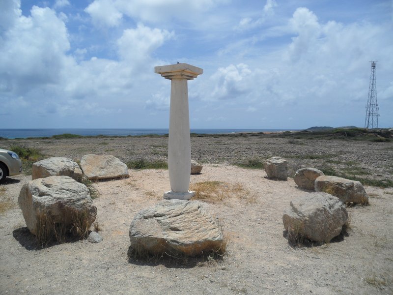
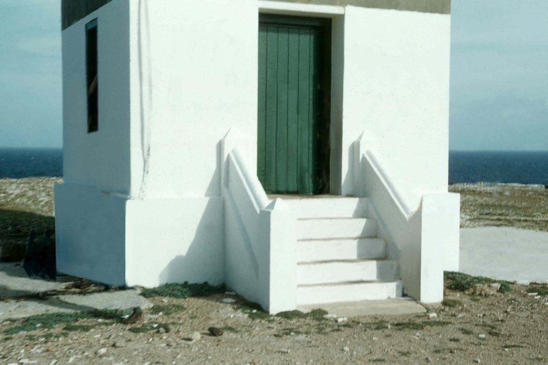
Aruba's most photographed landmark, built in 1916 at the rocky northern tip of the island. Climbing to the observation gallery rewards with a 360-degree panorama over the wild dune coast, the Arikok interior and the deep blue open Atlantic. Named after the SS California, a steamship that ran aground offshore in 1891.
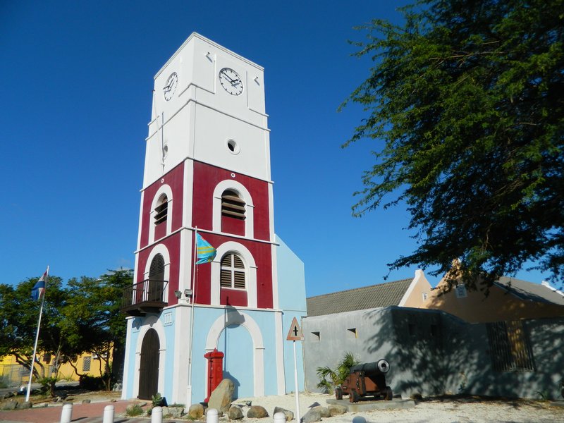
Aruba's oldest structure, built in 1798 to defend the coast. The Willem III Tower was one of the Caribbean's first lighthouses. Inside: pre-Columbian Caquetío artefacts, colonial memorabilia, geological displays and a record of the island's path to modernity.
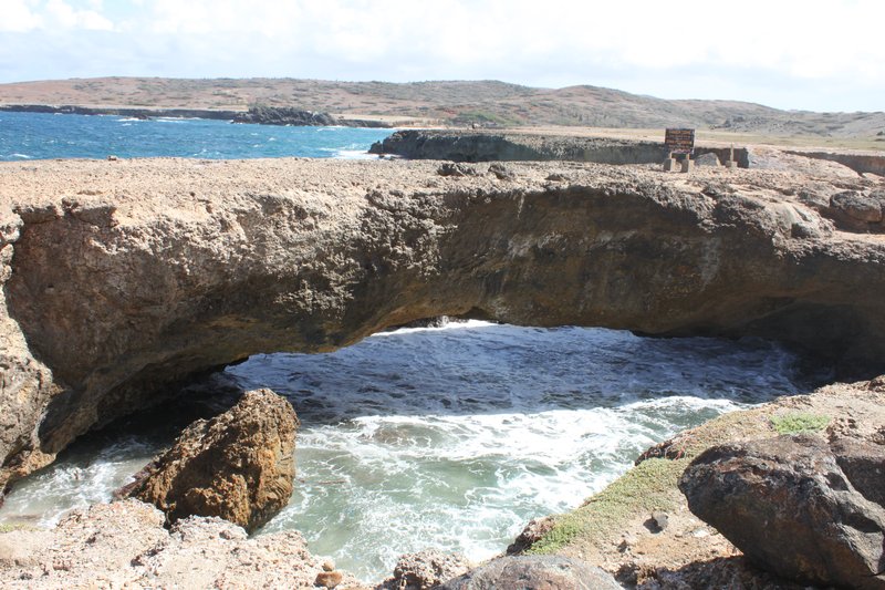
Aruba's remaining natural limestone arch, chiselled by Atlantic surf along the north coast near the Bushiribana gold smelter ruins. The original Natural Bridge collapsed in 2005. The Baby Bridge rises above the churning sea foam and makes one of the most photogenic coastal scenes on the island.
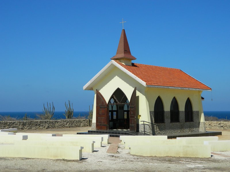
A petite sun-bleached chapel perched on a hilltop in Noord, built on the site of Aruba's first Catholic mission from 1750. Pilgrims still walk the Via Crucis — the Stations of the Cross — along the serpentine road up the hill. The view stretches across the pale cunucu scrubland to the distant sea in two directions.
Enormous diorite boulders rising from Aruba's flat scrubland near the village of Ayo. Ancient Caquetío petroglyphs are carved into the rock faces and the formations are used for rock climbing. The surrounding cacti and wind-bent divi-divi trees make it one of the island's most otherworldly landscapes.
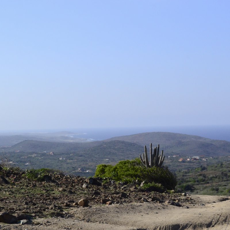
A 34-sq-km national park protecting nearly a fifth of the island. The landscape is arid: limestone cliffs, sea caves, wind-sculpted divi-divi trees and cactus forests. Two Caquetío cave sites — Fontein and Guadirikiri — lie just inside the gate. The park is the gateway to the Natural Pool.
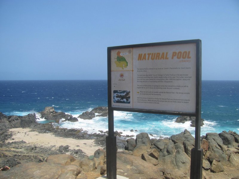
A sheltered seawater pool carved into the basalt of Aruba's wild north coast, reachable only by a rough 4WD track through Arikok National Park. Ocean swells surge in through rock crevices constantly refreshing the water, while the surrounding boulders act as a natural barrier against the open sea.
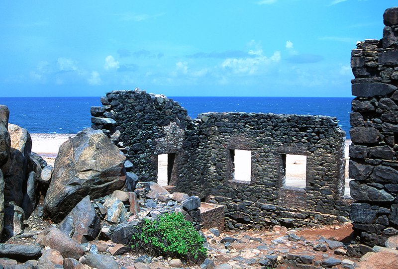
The roofless stone shell of a gold smelter built in 1825, perched on the jagged iron-black north coast where Atlantic surf pounds the limestone. Ore from nearby hills was processed here for a decade. The crumbling walls, sea spray and wild shoreline are among the island's most atmospheric.
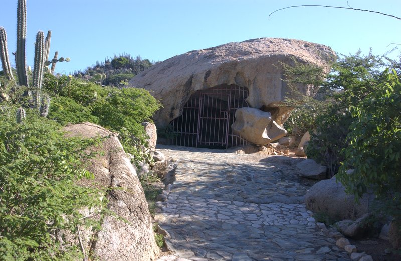
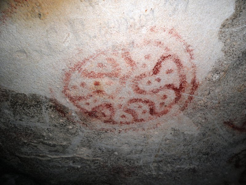
A limestone cave near Arikok's north gate with indigenous Arawak petroglyphs etched into the ceiling and walls — among the best-preserved pre-Columbian rock art in the Caribbean. Human figures and geometric forms survive alongside dripping stalactites. Entry via the Arikok day pass.
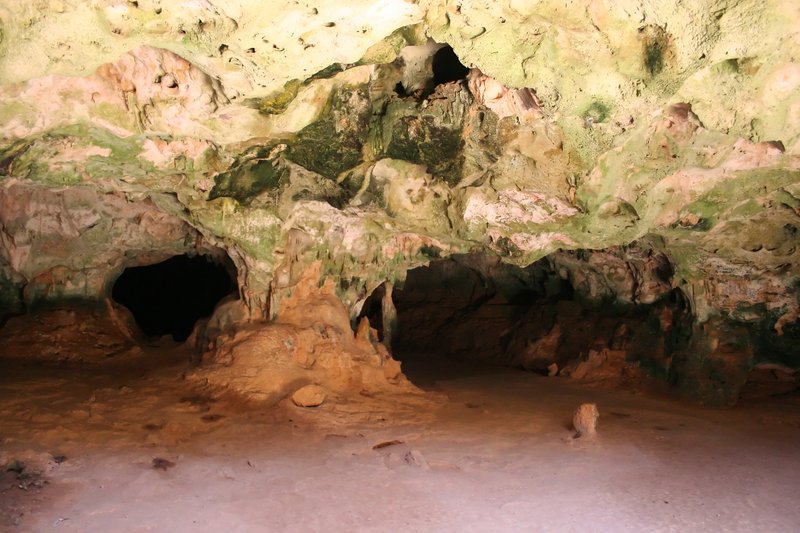
A limestone cave whose roof has collapsed in two places, creating dramatic circular skylights. Sunlight beams into the chamber, illuminating stalactites and the bat colony in the deepest section. A short passage connects to a second cave — entirely different in character from Fontein.
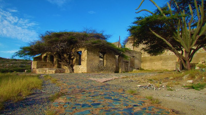
The ruins of a 19th-century gold smelter on Aruba's south coast — smaller and quieter than Bushiribana. The Aruba Gold Concession Company processed ore from the Balashi hills here in the 1870s. The roofless walls sit in flat scrubland between mangrove-fringed inlets.
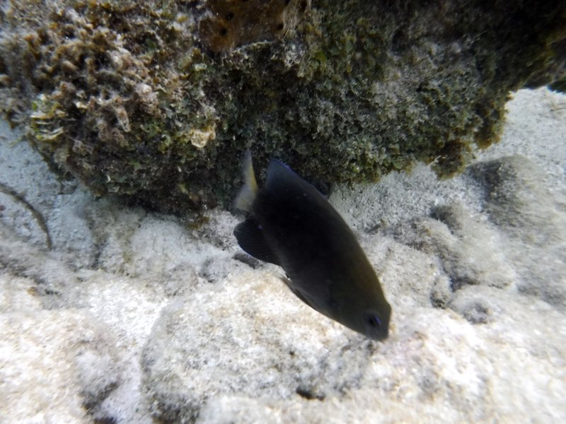
A shallow, sheltered lagoon near Pos Chiquito on Aruba's southeast coast, separated from the open sea by a fringe of red mangroves. The calm, clear water and healthy coral reef make it one of the island's top snorkeling spots — particularly popular with locals over tourists. White sand gives way almost immediately to knee-deep water ideal for snorkeling.
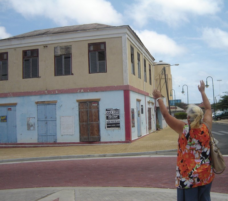
Aruba's second-largest town, transformed since 2016 by the annual Aruba Art Fair into one of the Caribbean's most celebrated outdoor gallery spaces. More than 60 large-scale murals cover building facades throughout the historic centre — a deliberate project to revive the town after its oil refinery closed. Cited by Forbes as a street-art destination.
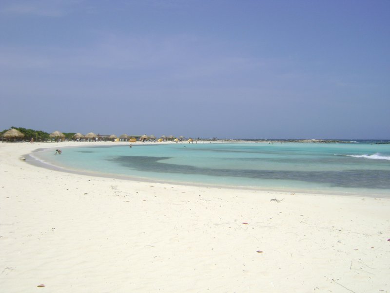
A near-circular turquoise lagoon at the southeastern tip of Aruba, named for its shallow, glassy water that is safe for small children. Coral reefs line the outer edge, making it one of the island's best snorkeling spots. The trade winds barely reach this sheltered pocket, leaving the surface flat even when the north coast is churning.
An 1881 colonial lighthouse standing 51 metres above the southeastern tip of Aruba. The lighthouse remains active; its grounds are open. From the plateau, the view sweeps across the turquoise lagoons below, the refinery town of San Nicolas and, on clear days, the Venezuelan coast 30 km away.
Aruba's widest white-sand beach and, by most international rankings, one of the finest in the Caribbean. TripAdvisor's Travelers' Choice ranked it the world's second-best beach. The beach is backed by fofoti trees — the island's wind-bent signature tree — and is quieter than the hotel-dense Palm Beach strip just to the north.
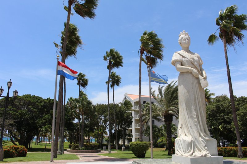
A shaded public park in the heart of Oranjestad, flanked by the L.G. Smith Boulevard waterfront and the town's colonial shopfronts. The centrepiece is a bronze statue of Queen Wilhelmina of the Netherlands, installed in 1955 to mark her abdication year. A natural starting point for the historic-centre walk.
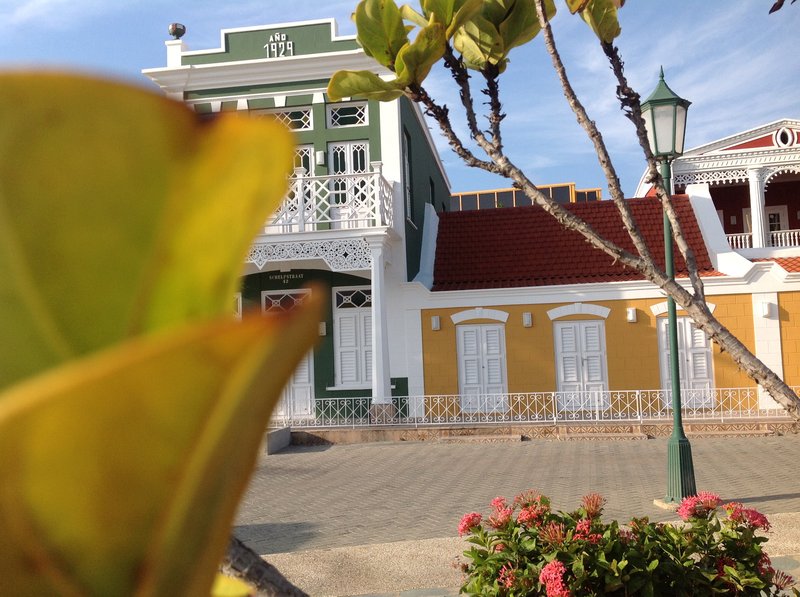
Aruba's premier archaeology museum, housed in a restored colonial building on Schelpstraat. The collection covers the island's Caquetío indigenous inhabitants from around 2500 BCE through the 19th century — pottery, tools, ceremonial objects and skeletal remains. The museum is entirely free and one of the most substantive in the southern Caribbean.
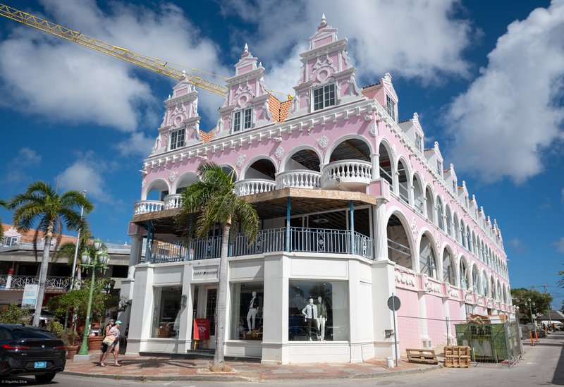
The pedestrian promenade along L.G. Smith Boulevard, lined with Aruba's most vivid Dutch-Caribbean architecture — pastel yellows, greens and pinks in the colonial shophouse style. The boulevard fronts the cruise-ship pier and the Royal Plaza Mall. Oranjestad is one of the most colourful capital cities in the Caribbean.
A 2.5-hour guided walk through Oranjestad's colonial architecture, Fort Zoutman and the waterfront — with local craft stops and a Papiamento language lesson.
Explore Aruba's rugged interior in a 4-seat UTV — dunes, Indian caves, the Natural Pool for a swim and the wild north coast; the most physically engaging off-road option on the island.
A full-day guided 4WD island circuit: caves, gold smelter ruins, the Natural Pool, windward dune coast, Baby Beach and a local lunch — the most complete single-day Aruba overland experience.
A 4.5-hour guided 4WD expedition from Palm Beach to Arikok's Cunucu cave, the Natural Pool for a swim and the north coast landmarks — the fast-track version for time-limited visitors.
A 2.5-hour catamaran sail along the calm western coast with two snorkelling stops at Aruba's coral reefs — clear water, open bar and the trade wind doing most of the work.
A 4-hour open jeep tour through Arikok National Park — Conchi Natural Pool for a swim, Indian cave paintings, the windward dune coast and the ruins of the old gold mill; guides narrate Aruba's indigenous and colonial history throughout.
A half-day catamaran snorkel cruise along Aruba's calm leeward coast — two reef stops including the Antilla Shipwreck, open bar throughout, light lunch served on deck.
Aruba's national dish: a Gouda or Edam shell stuffed with spiced chicken or beef, olives, capers and raisins — baked until molten. Born when enslaved people repurposed the empty rinds discarded by Dutch traders.
Aruba's beloved fried pastry — a half-moon pocket filled with spiced meat, tuna or cheese, sold warm from bakeries and roadside stands from early morning. Best eaten immediately from the fryer.
A soft, slightly sweet cornmeal flatbread cooked on a griddle — pan bati means beaten bread in Papiamento. Served alongside soups, stews and local mains; an essential part of a traditional Aruban table.
Foreign number: accepted. — the account is made with an email address and a password; the phone box is a plain contact field and no code is sent to it.
The broadest of the island’s home-grown platforms, delivering from Oranjestad, Noord and the Palm Beach high-rises out to San Nicolas. Around 44 kitchens and a flat delivery fee, and it orders from a browser with no app to install — the quickest way in for a visitor.
Foreign number: not required. — the single sign-up box takes an email address as readily as a number, so no SMS code has to arrive.
The longer-established local service, listed by the Aruba Tourism Authority and running its own website alongside the app. A smaller restaurant list than VapVap but strong on the Oranjestad kitchens, and the delivery fee scales with how far out you are.
No ride-hailing app operates in Aruba — the taxi trade is licensed and capped by the government, so neither Uber nor any competitor is on the island. Rides are licensed taxis on published fixed fares, the Arubus route along the hotel strip, a rental car, or your hotel’s own shuttle.
Hiking
Hooiberg · Easy
A short, painted-stair climb up Aruba's volcanic hill to a wide island view.
The Spanish arrived in Aruba in 1499 and dismissed it — along with Bonaire and Curaçao — as one of three islas inútiles, useless islands, because they found no gold. They were wrong about the gold, but the label stuck long enough to spare Aruba from the slave plantation economy that consumed most of the Caribbean. The island remained a backwater until the 1920s, when Venezuela's oil boom turned Aruba into one of the world's largest refinery sites almost overnight. That industrial chapter — the Eagle refinery, the Lago Colony, the waves of Venezuelan, Colombian and Dutch workers — is what shaped modern Aruba's peculiarly cosmopolitan character, where Papiamento blends Spanish, Portuguese, Dutch and English into a single compact island vernacular.
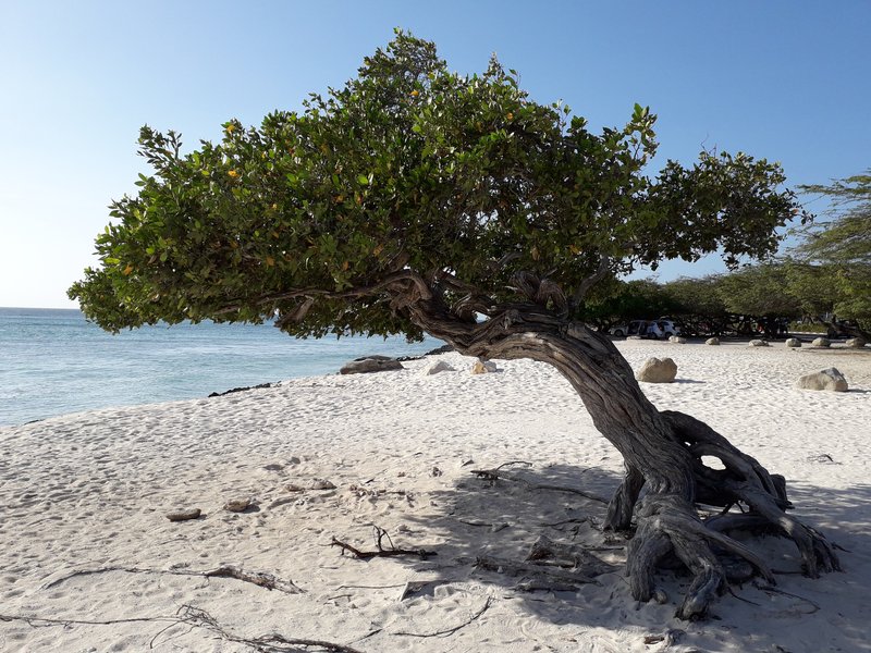
The divi-divi tree — Aruba's national symbol — grows only one way. No matter where on the island you encounter one, the trunk bends and the branches stream toward the southwest at a permanent angle of roughly 45 degrees. The culprit is the trade wind, which blows off the Atlantic at 25 miles per hour almost every day of the year without interruption. The same relentless breeze is why Aruba has almost no mosquitoes: the island is simply too windy for them to land. That perpetual air movement, combined with minimal rainfall and a flat, sun-washed terrain, places Aruba almost entirely outside the hurricane belt — a fact the divi-divi trees have been demonstrating, silently and emphatically, for centuries.