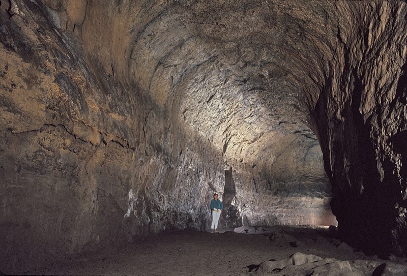
Oregon's longest lava tube at nearly one mile, carved by basalt flows over 80000 years ago. Walk through towering chambers and constricted passages with a rented lantern — a self-guided underground stretch that stays a steady 42 degrees no matter the season above.
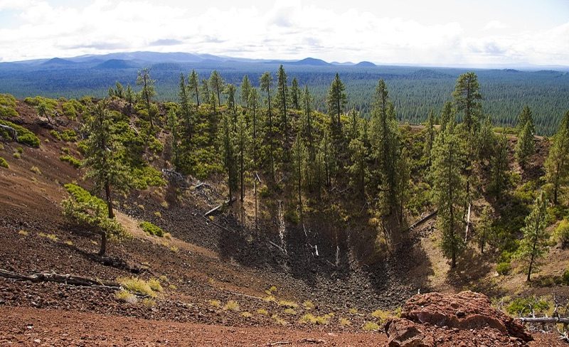
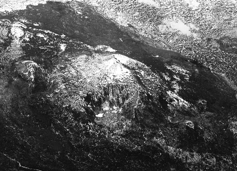
A 500-foot red cinder cone that erupted about 7000 years ago, ringed by the black basalt of the Lava Lands flow. A road spirals to the rim, where a lookout tower and crater trail open onto a sweep of Cascade peaks and the high-desert lava plain below.
The visitor center and summit road open May 15 through September 15 only.
Mid-June to early September the summit road is reached by shuttle from Lava Lands Visitor Center only — no personal vehicles allowed during shuttle hours.
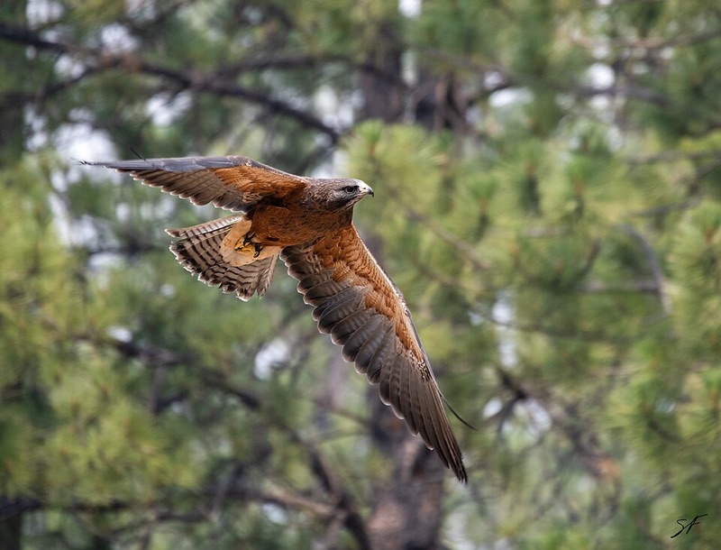
A 135-acre natural history campus in the ponderosa pines south of Bend, bringing the high desert to life with live river otters, raptors, and porcupines alongside 19th-century settler cabins and rotating gallery exhibitions. The outdoor wildlife loop and historical trail run about two hours end-to-end.
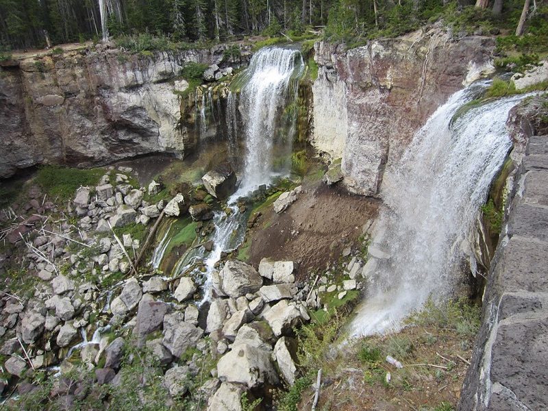
A twin 80-foot waterfall where Paulina Creek pours over the rim of the Newberry Caldera. A short trail leads to an overlook at the lip and a second viewpoint at the base, where the two ribbons drop side by side into a rust-and-grey rock amphitheatre.
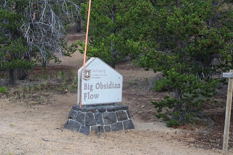
Oregon's youngest lava flow — about 1300 years old — a glittering mile-wide field of black volcanic glass and chalk-white pumice inside the Newberry Caldera. A one-mile interpretive loop climbs onto the flow itself, with Paulina and East Lakes spreading out below.
Open 24/7
The trail climbs onto loose obsidian and pumice — stay on the path, and skip it in rain or snow when the glass turns slick.
World-class basalt formations rising 650 ft above the Crooked River gorge. The 3.4-mile River Trail loops through cathedral spires, past Monkey Face column and Morning Glory Wall, with sweeping canyon views the entire way.
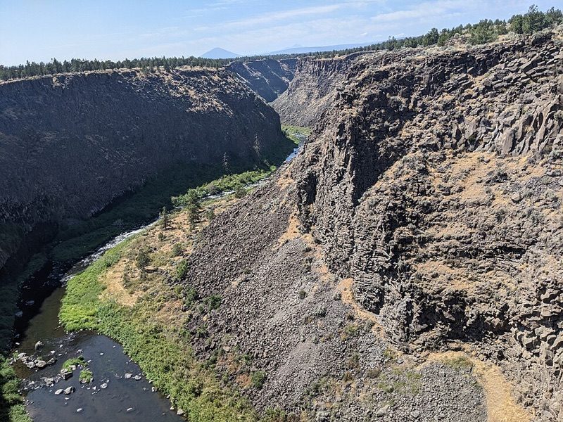
At Peter Skene Ogden State Scenic Viewpoint the Crooked River cuts a sheer 300-foot slot through the basalt, spanned by three historic bridges side by side. A short cliffside path runs to railed overlooks straight down into the gorge — dramatic and reached in minutes from the car.
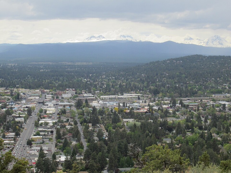
An extinct cinder cone rising 500 feet above Bend, offering an uninterrupted 360° panorama of nine Cascade peaks — Mt. Bachelor, South Sister, Broken Top, Mt. Jefferson, and more. Drive or hike the paved 1-mile summit trail.
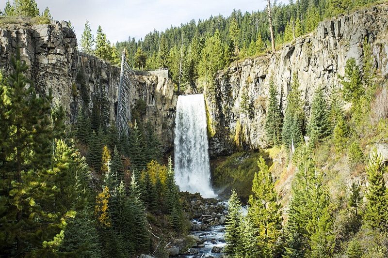
A 97-foot ribbon of water plunging into a narrow basalt canyon, reached by a 3.4-mile round-trip trail through ponderosa pines along Tumalo Creek. One of the most dramatic single-drop waterfalls in Central Oregon.
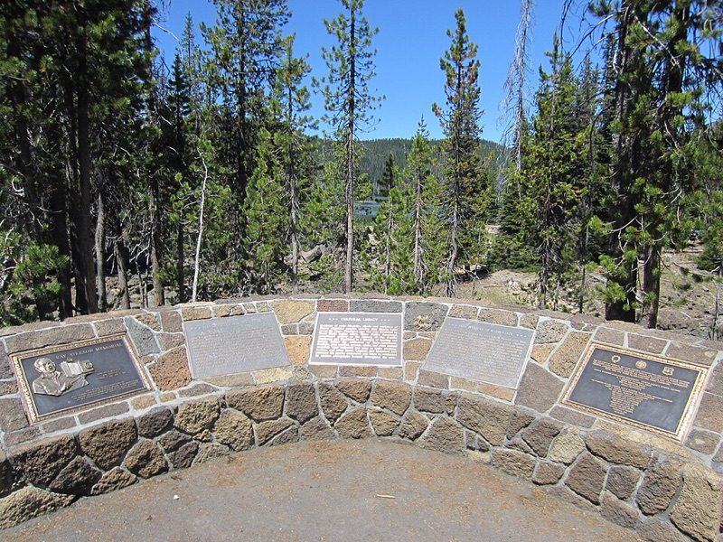
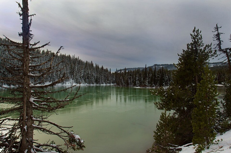
A shallow lava-dammed lake on the Cascade Lakes Scenic Byway, ringed by marsh and black lava and backed by Mt. Bachelor and South Sister. The mirror-still water at first light is the scene photographer Ray Atkeson made famous — the 2.5-mile shoreline loop hugs the view.
The Cascade Lakes Highway closes under snow late November through late May, and the gravel access road is rough for low-clearance cars in early summer.
A tiny glacier-fed lake so clear and shallow it glows an unreal Caribbean turquoise over its white pumice bed. A few steps from the byway pullout deliver the whole scene — float, wade, or just stand at the shore and take in one of the most startling colors in the Cascades.
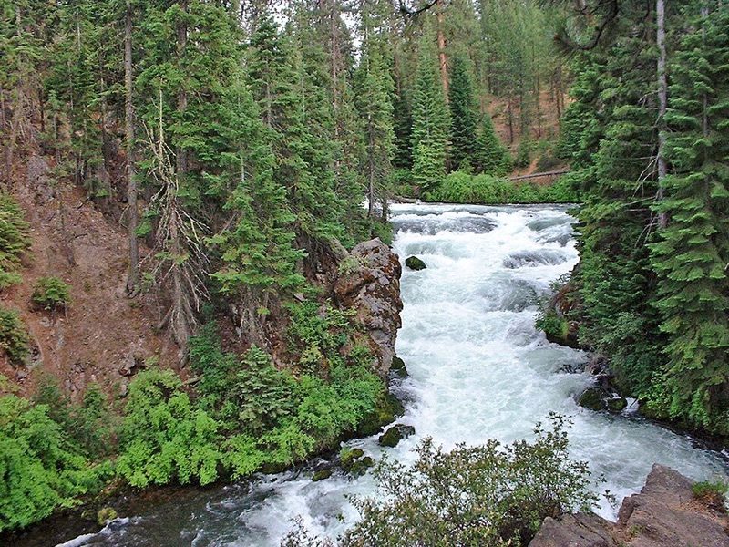
The Deschutes River squeezes through a narrow basalt channel and drops in churning cascades just north of Sunriver. A flat 2-mile round-trip trail through old-growth ponderosa pines leads to overlooks above the white water — an easy, dramatic finish to a day of Cascade alpine lakes.
A 6873-foot cinder cone rising from the immense black lava plain north of McKenzie Pass. Follow the Pacific Crest Trail through raw basalt, then branch toward the crater for a stark high-desert panorama — the route is exposed, rough underfoot, and far wilder than the roadside observatory.
A trailhead-specific day-use permit is required June 15 through October 15. Carry water and turn back in storms; the lava route has no shade or facilities.
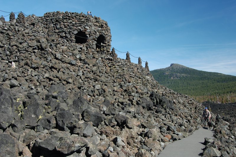
A lava-stone lookout built by the Civilian Conservation Corps in 1935 at the summit of McKenzie Pass. Climb the winding ramp above a 65-square-mile lava field, then use the labeled sighting holes to pick out the Three Sisters, Mount Washington, Mount Jefferson, and Hood.
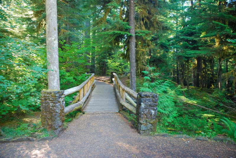
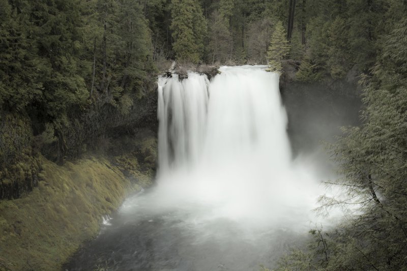
The McKenzie River hurls itself 73 feet over a ledge of dark lava into a spray-filled amphitheatre. A short forest path reaches the main overlook almost immediately, then continues beside the electric-blue river toward Koosah Falls through moss, cedar, and Douglas fir.
A broad 64-foot curtain of white water half a mile below Sahalie, where the McKenzie River folds into a deep basalt gorge. Walk the connecting river trail for changing angles through old-growth forest, or use the lower pullout for a shorter approach to the main overlook.
From Hotel: 2h 12min → Rim Village Historic District
1.Rim Village Historic District~1.5 hr
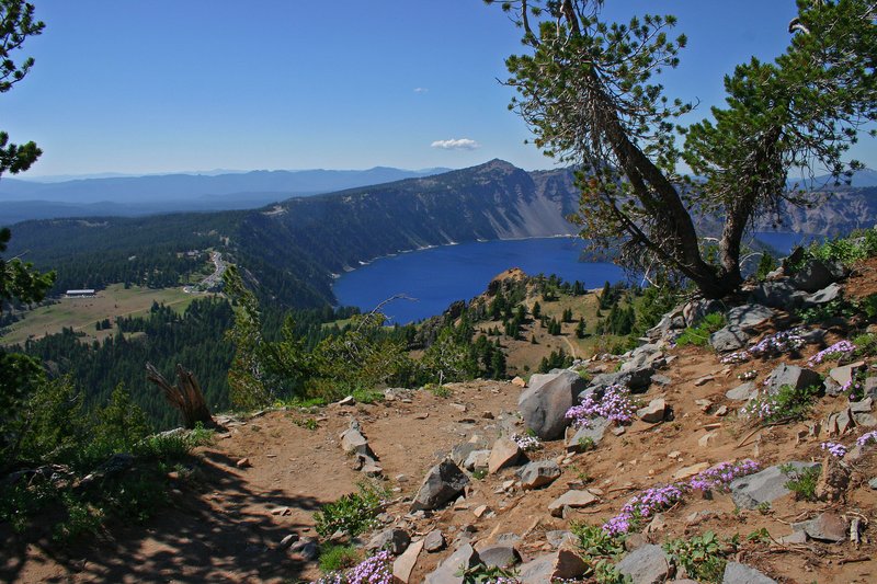
Crater Lake's main rimside ensemble, laid out in the 1920s and 1930s around a 2500-foot promenade above the caldera. Start at Sinnott Memorial for the first full reveal of the intensely blue lake, then follow the stone walls between panoramic overlooks and rustic park buildings.
Snow closes the north entrance and Rim Drive for much of the year. In winter, approach from Highway 62 and expect only the Rim Village corridor to be accessible.
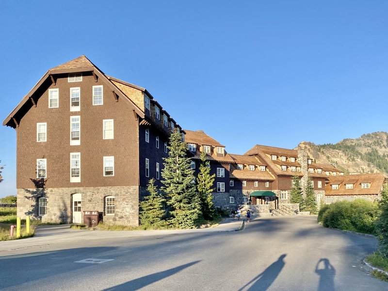
A grand 1915 rustic lodge perched almost on the caldera edge, with a stone-and-timber great hall and a broad terrace facing Wizard Island. Step inside for the historic interior, then take the lake view from the rocking chairs — the building survived decades of structural trouble before a meticulous restoration.
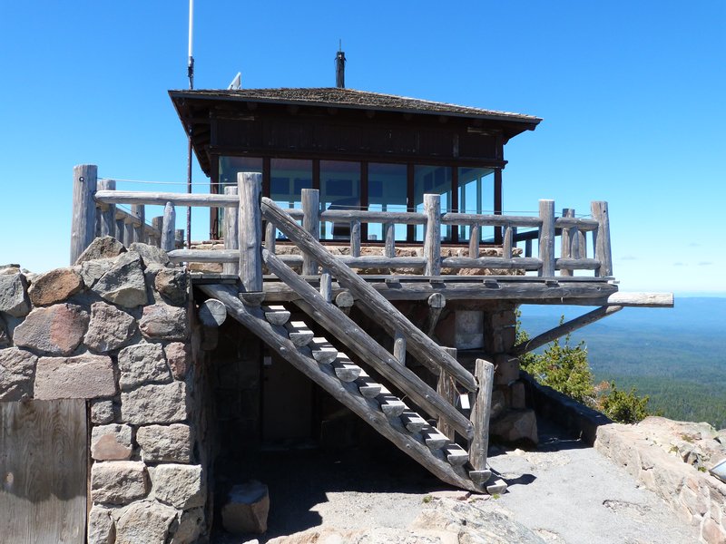
A 1932 stone fire lookout on the summit of Watchman Peak, reached by a 1.6-mile round-trip trail climbing 420 feet from West Rim Drive. The final terrace hangs above Wizard Island and opens the widest western view across the lake, especially dramatic late in the day.
Two hours underground in a wild lava tube no other outfitter is permitted to enter, with helmets and headlamps supplied and a naturalist guide unpacking the volcanic story of the caves, which hold a steady 45 degrees year-round.
A 2.5-hour guided van tour of three Bend craft breweries, each with its own character and tap lineup, with complimentary tasting flights at every stop — a deep dive into the city's 35-brewery beer scene.
A half-day naturalist-led descent into a wild Bend lava tube — helmets and headlamps provided — exploring lava-formed caverns and the region's volcanic geology, booked through GetYourGuide.
Paddle a high Cascade lake by canoe with a naturalist guide, soaking in panoramic views of the Three Sisters and Broken Top while sipping craft beers from Bend's local breweries mid-lake.
An 8-hour guided group day trip to Crater Lake National Park — America's deepest lake, formed in a 7,700-year-old volcanic caldera — with expert commentary on the geology, rim viewpoints, and stops at the historic Crater Lake Lodge.
An underground naturalist-guided walk through a wild Bend lava tube — the only permitted operator in these caves — with helmets and headlamps and a steady 45-degree chill, booked through TripAdvisor.
A small-group naturalist-guided descent into Bend's most tightly controlled lava tube network — only Wanderlust Tours is permitted in these wild, unlit caves — with helmets, headlamps, and two hours underground at a constant 45 degrees.
A full-day group tour to Crater Lake National Park — the deepest lake in the United States, formed inside a 7,700-year-old collapsed volcano — with panoramic rim viewpoints, expert geological commentary, and Max 13.
Bend has more craft breweries per capita than almost any US city — built on Cascade snowmelt water. Deschutes Brewery, founded here in 1988, pioneered Oregon's craft scene.
Foreign number: not accepted. — Lyft's own help says the number must be a US, Canadian or Puerto Rican one, and the code is texted only to that number.
Available across Bend as a backup to Uber; coverage is reliable in the downtown and east side zones.
Smith Rock State Park, just east of Bend, is where American sport climbing was born. In the early 1980s, climber Alan Watts began bolting routes on the park's volcanic tuff walls — a practice then controversial in a culture that prized uncertain protection. His ascents at Smith Rock, including the first free climb of Monkey Face, introduced bolt-protected sport climbing to the United States at a time when it existed mainly in Europe. The style spread from here across the country. The park's dramatic 550-foot columns of welded tuff are geologically unusual — remnants of ancient pyroclastic deposits — and their erosion-textured surface turned out to be nearly ideal for the technical face climbing that defines the sport today.
It is also worth noticing what created Bend's landscape in the first place: the Cascade rain shadow. The volcanic peaks to the west strip moisture from Pacific storms as they rise over the range, dropping heavy precipitation on the western slope while leaving the high desert east side — where Bend sits — receiving a fraction of that water. The result is roughly 300 sunny days a year, ponderosa pine forest instead of Douglas fir, and a climate that feels nothing like coastal Oregon despite being just a few hours inland.